During your Master’s in Geo-Information Science and Earth Observation (GEO), you will collect a total of 120 EC within two years. In addition to the three mandatory courses of the Master’s, you will take four specialisation courses and elective courses. You can also do an optional internship and complete your studies by writing your master’s thesis.
European Credit Transfer System
Student workload at Dutch universities is expressed in EC, also named ECTS (European Credit Transfer and Accumulation System), widely used throughout the European Union. In the Netherlands, each credit represents 28 hours of work. The recognition of credits is at the discretion of your Master's.
Structure
YEAR 1 | NUMBER OF EC | COURSES |
Foundation courses
Required courses for all students of the Master’s | 15 EC | - Fundamentals of GIS and Earth Observation
- Fundamental spatial data engineering and innovations
- Fundamental programming for geospatial data analysis
|
Specialisation courses Required courses for all students of the specialisation | 25 EC | - Introduction to Hazard Risk Resilience (5 EC)
- Introduction to Data Driven modelling (5 EC)
- Anticipating and Responding to Disasters (2.5 EC)
- Weather and Climate (5EC)
Pathway 1 – Managing resilience Above-listed courses plus: - Quantitative Remote Sensing (2.5 EC) OR
- VGI and Geo Citizen Science (2.5EC)
- Planning for Resilient Cities (5EC)
- Urban and Land Future Studio (5EC)
Pathway 2 – Modeling & data analysis Above-listed courses plus: - Physically-Based Hazard Modelling (5EC)
- Scientific Geocomputing (5EC)
- Multi-Hazard Risk Assessment (5EC)
- Earth Processes (5EC)
- Machine Learning for Geospatial Appl. (5EC)
- Advanced Machine Learning (5EC)
- Machine Learning for Geospatial Appl. (5EC)
|
Elective courses
You can choose a course that matches your interests and career ambitions. | 10 EC | Relevant courses related to the specialisation |
Research and professional skills courses
Required course for developing your research skills | 10 EC | Research Skills & Proposal |
YEAR 2 | | |
Electives | 25 EC | In the second year, you can personalise your study programme by doing an internship and taking elective courses including professional courses. |
Research | 35 EC | To complete your Master’s in GEO you will conduct a research project of your choice. |
Total EC | 120 EC | |
Internship
In the second year of your Master’s in Geo-Information Science and Earth Observation, you can apply the knowledge and skills you have acquired during your studies by doing an internship at the Netherlands Red Cross, (inter)national governmental organisation, research institute, or non-governmental organisation in the Netherlands and abroad. ITC has a broad network of organisations where you can do your internship project.
Examples of internships that students have done are:
Discover the exciting internship options at ITC!
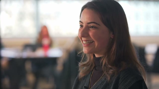
Join us on a journey as we follow two Master students, Carolina Pereira Marghidan and John Ifejube, during their internships at the Faculty of Geo-Information Science and Earth Observation (ITC) at the University of Twente. Get ready to witness the impactful work they're doing in their respective placements and gain a glimpse into the future that awaits you as a prospective student. Watch the video!
Master's thesis
You will complete your studies with a Master’s thesis on a topic of your choice. You will work with a supervisory team throughout your research.
In your master’s thesis, you can undertake research projects such as:
- Post-disaster damage and response assessment with PlanetScope satellite imagery (Shreya Bansod, 2024)
- Evaluating the explainability and performance of an elementary versus a statistical impact-based forecasting model. A case study of tropical cyclone early action (Sahara Sedhain, 2023)
- Development of deep learning model for building opening detection as the application of unmanned aerial vehicles in urban search and rescue missions (Ali Surojaya, 2023)
- Heat in Honduras: heat hazard and risk in a tropical climate (Simone Hibma, 2023)
- Analysis of the possibility of implementing the Room for the River concept in Taiwan (Tzu-Hsiang Lo, 2023)
- Spatial predictive modelling for outlining areas prone to torrential flows in the Colombian Andes (Mateo Moreno, 2021)


